System for land planning and management comprises South America
System for land planning and management comprises South America
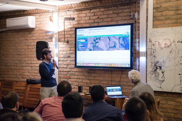
Time series of vegetation indices generated from satellite images of the entire South American territory can now be accessed on the Internet, in support of agricultural and environmental monitoring activities. he international version of the open-access System for Time Series Analysis of Vegetation (Sistema de Análise Temporal da Vegetação - SATVeg) was launched in late September by Embrapa Agricultural Informatics and by Agroicone, with support from the "Input" project (from the Portuguese "Iniciativa para o Uso da Terra", Land Use Initiative).
The web system is useful for land planning and management, and especially helps professionals who work with geoprocessing, satellite images, time series, land use mapping, and rural credit assessment and inspection. The technology can also help the elaboration of environmental and agricultural public policy concerning land use and cover.
In addition to the broader geographical coverage, improvements to the tool include new filter and data quality functionalities, tutorial content aimet at the non-specialized public, and the option to vizualize the interface in three languages: Portuguese, Spanish and English. With the new version, we now expect to increase the number of users, including from other countries, and also reach farmers, researchers, university students, and NGO representatives", reports the Embrapa Agricultural Informatics researcher Júlio Cesar Dalla Mora Esquerdo.
Among its advantages, the SATVeg allows for the identification of urban and rural areas, as well as production systems - annual crops, sugarcane, pastures, or woods, for instance. It is also possible to follow the cycle of an agricultural crop and its intensification, the incidence of deforestation, and even detect flooding in floodplains.
Analyses based on such high resolution time data make it possible to regularly follow the development of the crops or the agricultural area, on the basis of their vegetation indices, which represent the biomass behavior throughout time. The information is extracted from satellite images and shows the amount of vegetation that exists in the area observed, measured in 250x250m grids on the surface of the Earth.
The system also helps to create a database with information on the use a given piece of land throughout the years, Esquerdo explains. "If we have a historical series since 2000, it is possible to know which segments at that time were forest, then were deforested and turned into pastures, and were later converted to agriculture; in other words, it is possible to reconstruct the history of the land, and this has provided support to land use mapping", the researcher says.
With the SATVeg technology, the analyses that previously required specific technical knowledge and advanced digital image processing equipment can nowadays be more quickly performed through the web system's algorithms, which automatically produces information and graphs. Thus, researchers, students, geoprocessing technicians, public managers, consultants and other users from the production sector can map and monitor land use and cover dynamics to the full extent of South America and learn about their behavior with more precision.
Translation: Mariana de Lima Medeiros
Nadir Rodrigues (MTb/SP 26.948)
Embrapa Agricultural Informatics
Press inquiries
informatica-agropecuaria.imprensa@embrapa.br
Phone number: (19) 3211-5747
Collaboration: Caroline Masiero
Embrapa Agricultural Informatics
Further information on the topic
Citizen Attention Service (SAC)
www.embrapa.br/contact-us/sac/


