Implementation of Embrapa's Spatial Data Infrastructure and Consolidation of Databases for Geospatial Research
Implementation of Embrapa's Spatial Data Infrastructure and Consolidation of Databases for Geospatial Research
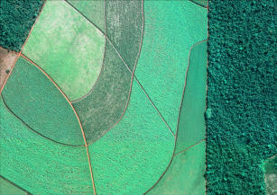
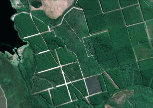
Photo: GEOEYE, Embrapa
This project arose from the need to generate and consolidate geospatial databases, implementing an infrastructure in order to organize and make this data available to improve Embrapa's RD&I capacity. As well as to allow sharing of the data collection to other government agencies and to society, and also the establishment of a multiuser reference center for obtaining spectroradiometric measurements of targets of interest to tropical agriculture. The implementation of Embrapa's Spatial Data Infrastructure (IDE-EMBRAPA) occurred in line with the guidelines of the National Spatial Data Infrastructure of Brazil (INDE).
Status: Completed Start date: Sun Jun 01 00:00:00 GMT-03:00 2014 Conclusion date: Tue May 31 00:00:00 GMT-03:00 2016
Keywords: Geoinformação, Metadados, INDE, Sensoriamento Remoto, Zoneamentos