Portfolio to Monitor the Dynamics of Land Use and Land Cover in the National Territory - PortGEO
Portfolio to Monitor the Dynamics of Land Use and Land Cover in the National Territory - PortGEO

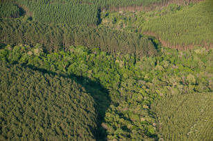
Photo: EMBRAPA, GeoEye
PortGEO brought together several projects and actions developed at Embrapa with a thematic focus on the study and assessment of environmental, socioeconomic and institutional factors associated with the dynamics of land use and cover (causes and effects), as well as their interactions, impacts, products and outcomes. The project was developed to manage and consolidate information from Embrapa's R&D and TT projects within a consolidated structure, in order to organize, make this information available and improve its RD&I capacity.
Status: Completed Start date: Sun Feb 01 00:00:00 GMT-03:00 2015 Conclusion date: Wed Jan 31 00:00:00 GMT-03:00 2018
Keywords: Geotecnologias, Geoinformação, Agricultura, Recursos Naturais

