Geospatial and territorial management Technologies to assist mapping social vulnerabilities.
Geospatial and territorial management Technologies to assist mapping social vulnerabilities.
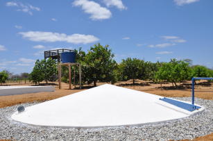
Photo: BIROLO, Fernanda Muniz Bez
This project aims to develop an open access digital platform in which data from Federal Government social programs focusing on farmers are available for crossings and spatial visualization. The tool was requested by the National Secretariat for Food and Nutritional Security of the former Ministry of Social Development (Sesan / MDS), and consists of a geoweb with information that allows the elaboration of coverage maps for five social programs: Food Acquisition (PAA), Promotion of Rural Productive Activities, Cisterns and Other Social Technologies for Access to Water, Distribution of Food Baskets and Community Seed Banks. The mapping of food and nutritional insecurity of self-declared family farmers in the Federal Government's Registry for Social Programs (CadÚnico) is also available in the tool.
Ecosystem: Amazonic, Coastal Areas, Campinaranas, Extreme South, Atlantic Forest, Semi-mixed and seasonal forests, Mid-North, Pantanal, Caatinga Region and Mixed forests, Cerrados Region, Pinheirais Region, Ecological Transition
Status: Completed Start date: Sat Oct 01 00:00:00 GMT-03:00 2016 Conclusion date: Sun Dec 31 00:00:00 GMT-03:00 2017
Head Unit: Embrapa Territorial
Project leader: Luciola Alves Magalhaes
Contact: luciola.magalhaes@embrapa.br
Keywords: insegurança alimentar, cestas básicas, programas sociais, cisternas