Mapping of pastures degradation levels in the Cerrado biome using geotechnologies
Mapping of pastures degradation levels in the Cerrado biome using geotechnologies
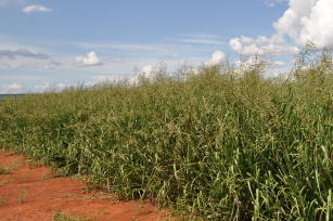
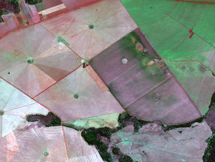
Photo: RAMOS, Allan Kardec Braga
This project aims to map degradation levels of cultivated pastures in the Cerrado biome of four Brazilian states (Mato Grosso do Sul, Mato Grosso, Tocantins e São Paulo); to establish computational models to classify degraded pastures in Cerrado areas, according to different levels of degradation; and structure a geospatial database to assist decision making by public and private initiative regarding the use of these lands by agriculture and livestock. Despite being a relevant topic for the country the quantification and geospatial tracing of degraded pasture areas of the Cerrado biome, previous initiatives to map pasture degradation levels used time series of low spatial resolution images (pixel of 1.000 meters). In this sense, the project innovates by using medium resolution satellite images as Landsat 8 time series, with spatial resolution of 30 meters, and Sentinel-2, with spatial resolution of 10 meters in the RGB and NIR bands. Another innovation is the number of sites sampled in the field in the cultivated pasture areas of the Cerrado, sampling approximately 2,800 locations.
Status: Completed Start date: Thu Aug 01 00:00:00 GMT-03:00 2019 Conclusion date: Sun Dec 31 00:00:00 GMT-03:00 2023
Head Unit: Embrapa Territorial
Project leader: Carlos Cesar Ronquim
Contact: carlos.ronquim@embrapa.br