Zoneamento de áreas potenciais para barragens subterrâneas no estado de Alagoas
Zoning of potential areas for underground damns in the State of Alagoas
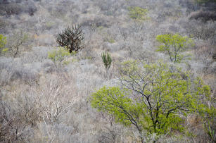
Photo: NUNES, Saulo Coelho
Zoning of the potential areas for the building of underground damns in the sertão of Alagoas it´s a map wich indicates the areas with more chances of the cinstruction of a underground damn considering the soil, geology, climate and amount of rain per year. THis map, in the scale 1:100.000, uses information of the Agroecological zoning of Alagoas (ZAAL). THis zoning will be used to identify and spacialize the geoenvironments with high, medium and low potentials to the implemntation of the undergrond damns.
Where to find:
Este ativo pode ser encontrado no Geoinfo, a plataforma digital de dados espaciais da agricultura brasileira. Abaixo estão os links de acesso aos principais mapas referentes a este ativo:
1. Mapa das áreas potenciais para construção de barragens subterrâneas no Semiárido de Alagoas - ZonBarragem < http://geoinfo.cnps.embrapa.br/maps/2459>>
2. ZonBarragem - Mapa das áreas potenciais para construção de barragens subterrâneas na região semiárida de Alagoas < http://geoinfo.cnps.embrapa.br/documents/2449 >
Product: Mapping, zoning Launch year: 2019
Country: Brazil Region: Northeast State: Alagoas Biome: Caatinga
Responsible Unit: Embrapa Soils
Participating Units: Embrapa Cotton, Embrapa Coastal Tablelands, Embrapa Tropical Agroindustry, Embrapa Semi-arid Region, Embrapa Mid-North
Keywords: Alagoas, barragem subterrânea, ZAAL, zoneamento