Search Publications
Filter by:
| Author(s): BASTOS, B. P.; PINHEIRO, H. S. K.; FERREIRA, F. J. F.; CARVALHO JUNIOR, W. de; ANJOS, L. H. C. dos Airborne geophysical data (AGD) have great potential to represent soil-forming factors. Because of that, the objective of this study was to evaluate the importance of AGD in predicting soil attributes... ... |
| Author(s): ALBERTI, R.; HOFF, R.; LOPES, R. DA C.; PAULETTO, H. O método de espectrometria de raio gama é uma alternativa para medir rapidamente a intensidade da radiação emitida pelos elementos potássio (K), tório (Th) e urânio (U) na superfície do solo e isso po... ... |
| Author(s): ALBERTI, R.; HOFF, R.; LOPES, R. da C.; PAULETTO, H. The gamma-ray spectrometry method is an alternative for quickly measuring the intensity of the radiation emitted by the elements U (uranium), K (potassium) and Th (thorium) from the soil surface, bein... ... |
| Author(s): BASTOS, B.; PINHEIRO, H.; CARVALHO JUNIOR, W. de Aero geophysical data is becoming an important source of environmental covariate in digital mapping. Airborne gamma-ray spectrometry is more common in digital soil mapping, because of the penetration... ... |
| Author(s): VILELA, F. DE A.; TIMES, V. C.; BERNARDI, A. C. de C.; FREITAS, A. DE P.; CIFERRI, R. R. Nowadays, organizations are very interested to gather data for strategic decision-making. Data are disposable in operational sources, which are distributed, heterogeneous, and autonomous. These data a... ... |
| Author(s): MEZA, L. A.; GOMES, E. G.; MELLO, J. C. C. B. S. de; BIONDI NETO, L.
|
| Author(s): BIONDI NETO, L.; MELLO, J. C. C. B. S. de; MEZA, L. A.; GOMES, E. G. Interval DEA frontiers are here used in situation where one input or output is subject to uncertainty in its measurement and is presented as an interval data. We built an efficient frontier without an... ... |
| Author(s): BARRETO, P. V. DE A.; SILVA, M. A. S. da; MATOS, L. N.; MIRANDA JÚNIOR, G. F.; DOMPIERI, M. H. G.; MOURA, F. R. DE; RESENDE, F. K. S. ABSTRACT: This paper proposes an algorithm for analyzing clusters of thematic maps with ordinal categorical classes to support territorial zoning. The proposed method combines the Self-Organizing Map... ... |
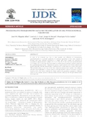
| Author(s): FILIPPINI ALBA, J. M.; CRUZ, L. E. C.; DUCATI, J. R.; CUNHA, H. N. da; DOMINGUES, J. M. M.
|
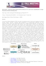
| Author(s): MARTINS, V.; KALEITA, A. L.; GELDER, B. K.; SILVEIRA, H. L. F. da; ABE, C. A.
|
Observation
Some of Embrapa's publications are published as ePub files. To read them, use or download one of the following free software options to your computer or mobile device. Android: Google Play Books; IOS: iBooks; Windows and Linux: Calibre.
Access other publications
Access the Agricultural Research Database (BDPA) to consult Embrapa's full library collection and records.
Visit Embrapa Bookstore to purchase books and other publications sold by Embrapa.

