Search Publications
Filter by:
 Author(s): SAMUEL-ROSA, A.; DALMOLIN, R. S. D.; MOURA-BRUNO, J. M.; TEIXEIRA, W. G.; FILIPPINI ALBA, J. M. Spatial soil data applications require sound geospatial data including coordinates and a coordinate reference system. However, when it comes to legacy soil data we frequently find them to be missing o... ... |
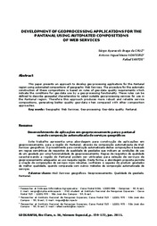 Author(s): CRUZ, S. A. B. da; MONTEIRO, A. M. V.; SANTOS, R. This paper presents an approach to develop geo-processing applications for the Pantanal region using automated compositions of geographic Web Services. The procedure for the automatic construction of... ... |
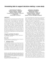 Author(s): MACARIO, C. G. N.; SANTOS, J. A. dos; MEDEIROS, C. B.; TORRES, R. da S. Georeferenced data are a key factor in many decision-making systems. However, their interpretation is user and context dependent so that, for each situation, data analysts have to interpret them, a ti... ... |
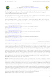 Author(s): SILVA, M. A. S. da; MATOS, L. N.; MIRANDA JUNIOR, G. F.; SANTOS, F. E. de O.; DOMPIERI, M. H. G.; MOURA, F. R. de; RESENDE, F. K. S. Brazilian agricultural production presents high spatial diversity, challenging the conception of public policies. This article proposes an approach for grouping Brazilian municipalities according to t... ... |
 Author(s): SESSO, P. P.; PEREIRA, L. F. P.; SESSO FILHO, U. A.; ZAPPAROLI, I. D. Resumo: O objetivo deste estudo foi realizar a análise exploratória dos dados espaciais (Aede) da produção de café dos municípios do estado do Paraná, no período 1980-2018. A fonte dos dados foi o Ins... ... |
 |
 Author(s): PORTINHO, J. L.; GOMES, A. C. C.; KOGA-VICENTE, A.; MANZATTO, C. V.; MILANI, F. C. C.; ARAUJO, L. S. de; VICENTE, L. E. Abstract: This study aimed to show a system integrated environmental management of aquaculture for the public authorities and general public to monitor water quality and the land use in hydroelectric... ... |
 Author(s): PINTO, D. M.; BRANDÃO, S. V. V. dos; DRUCKER, D. P.; DOMPIERI, M. H. G.; RASCHE, F.; HOLLER, W. A.; BETTIOL, G. M.; CUSTODIO, D. de O.; VICTORIA, D. de C.; GONCALVES, L. de M. P. B. Sob as premissas do acesso aberto, o atual contexto de produção da ciência vem expressando valor ao compartilhamento e abertura dos dados de pesquisa. No Brasil, o Decreto Lei n. 6.666/08, que institu... ... |
 Author(s): PINTO, D. M.; DRUCKER, D. P.; ESQUERDO, J. C. D. M.; FORTALEZA, J. M.; SIMÕES, M.; RASCHE, F.; DART, R. de O.; BERTIN, P. R. B.; CUSTODIO, D. de O. RESUMO. O "GeoInfo - Infraestrutura de Dados Espaciais da Embrapa" é o repositório de dados espaciais da Embrapa, criado a partir das considerações concernentes ao acesso e à ciência aberta, e, em ate... ... |
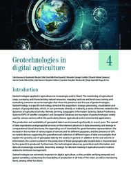 Author(s): MACÁRIO, C. G. do N.; ESQUERDO, J. C. D. M.; COUTINHO, A. C.; SPERANZA, E. A.; SILVA, J. dos S. V. da; ANTUNES, J. F. G.; VENDRÚSCULO, L. G.; CRUZ, S. A. B. da Introduction. Applications of geotechnologies in agricultural and environmental monitoring: Geospatial data - basic concepts and their organization. Remote sensing: Time series of satellite images and... ... |
Observation
Some of Embrapa's publications are published as ePub files. To read them, use or download one of the following free software options to your computer or mobile device. Android: Google Play Books; IOS: iBooks; Windows and Linux: Calibre.
Access other publications
Access the Agricultural Research Database (BDPA) to consult Embrapa's full library collection and records.
Visit Embrapa Bookstore to purchase books and other publications sold by Embrapa.