Search Publications
Filter by:
 Author(s): LU, D.; BATISTELLA, M.; MIRANDA, E. E. de Complex forest structure and abundant tree species in the moist tropical regions often couse difficulties in classifying vegetation classes with remotely sensed data. This paper explores improvement i... ... |
 Author(s): ANDRADE, R. G.; MENEZES, S. J. M. da C.; SEDIYAMA, G. C.; SOARES, V. P.; GLERIANI, J. M.; RIBEIRO, C. A. A. S. SEBAL - "Surface Energy Balances Algorithms for Land" - é um algoritmo o qual cria mapas de evapotranspiração para grandes áreas. O SEBAL é processado por meio de passos computacionais que calculam o... ... |
 Author(s): GANAN, J. R.; ROCHA, J. V.; MERCANTE, E.; ANTUNES, J. F. G. O trabalho tem como objetivo mapear as áreas da soja na região Oeste do Estado do Paraná com imagens Landsat 5/TM, por meio de classificações digitais supervisionadas realizadas no software Envi 4.0,... ... |
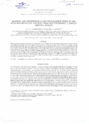 Author(s): LU, D.; BATISTELLA, M.; MAUSEL, P.; MORAN, E. Mapping and monitoring land degradation in areas under human-induced stresses have urgent tasks in remote sensing whose importance has not yet been fully appreciated. In this study, a surface cover in... ... |
 Author(s): PRADO, R. B.; FERREIRA, C. E. G.; BENITES, V. de M.; NAUMOV, A. A partir dos anos 1970, a ocupação pelo homem do espaço do centro-oeste brasileiro apresentou um elevado crescimento devido a políticas de expansão agrícola. Este fato ocorreu por meio do alto grau de... ... |
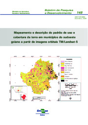
 Author(s): HOTT, M. C.; SOARES, V. P.; RIBEIRO, C. A. A. S.; GRIFFITH, J. J. Análise de uma imagem de transformação de textura a partir de uma imagem TM/Landsat-5 no município de Viçosa (MG) com a utilização de um operador de Hurst com uma amplitude de 7 pixels. |
 |
 Author(s): LU, D.; BATISTELLA, M.; ALVES, D. HETRICK, S.; MORAN, E. High deforstation rates in Amazonia have motivated considerable efforts to monitor land-cover changes based on satellite images and image porcesssing techniques. Most commonly, MODIS images are used t... ... |
 Author(s): GOERGEN, Ç L. C. de G.; KILCA, R. de V.; NARVAES, I. da S.; SILVA, M. N.; SILVA, E. A.; PEREIRA, R. S. P.; ADAMI, M. O objetivo deste trabalho foi avaliar a utilização de imagens do sensor TM/Landsat 5 na diferenciação de plantios comerciais de Eucalyptus dunnii e Eucalyptus urograndis com diferentes idades. Demarca... ... |
 Author(s): CECHIM JUNIOR, C.; JOHANN, J. A.; ANTUNES, J. F. G. ABSTRACT. The knowledge on reliable estimates of areas under sugarcane cultivation is essential for the Brazilian agribusiness, since it helps in the development of public policies, in determining pri... ... |
Observation
Some of Embrapa's publications are published as ePub files. To read them, use or download one of the following free software options to your computer or mobile device. Android: Google Play Books; IOS: iBooks; Windows and Linux: Calibre.
Access other publications
Access the Agricultural Research Database (BDPA) to consult Embrapa's full library collection and records.
Visit Embrapa Bookstore to purchase books and other publications sold by Embrapa.