Search Publications
Filter by:
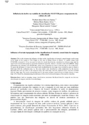
| Author(s): SANTOS, W. J. R. dos; ALVES, H. M. R.; VIEIRA, T. G. C.; VOLPATO, M. M. L. This work evaluates the influence of slope in the classification of remotely sensed images used to map coffee lands of the region of Três Pontas in the state of Minas Gerais in Brazil. A Landsat image... ... |
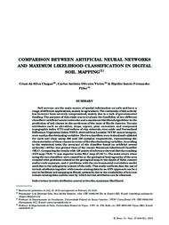
| Author(s): CHAGAS, C. da S.; VIEIRA, C. A. O.; FERNANDES-FILHO, E. I. Soil surveys are the main source of spatial information on soils and have a range of different applications, mainly in agriculture. The continuity of this activity has however been severely compromise... ... |
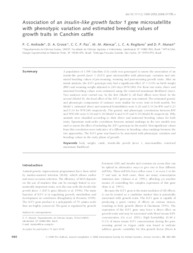
| Author(s): ANDRADE, P. C.; GROSSI, D. A.; PAZ, C. C. P.; ALENCAR, M. M. de; REGITANO, L. C. de A.; MUNARI, D. P. A population of 1398 Canchim (CA) cattle was genotyped to asses the association of na insulin-like growth factor 1 (IGF1) gene microsatellite with phenotypic variation and estimated breeding values of... ... |
| |
| Author(s): LU, D.; BATISTELLA, M.; LI, G.; MORAN, E.; HETRICK, S.; FREITAS, C. DA C.; SANT'ANNA, S. J. Land use/cover classification is one of the most important applications in remote sensing. However, mapping accurate land use/cover spatial distribution is a challenge, particularly in moist tropical... ... |
| Author(s): MORAS FILHO, L. O.; FIGUEIREDO, E. O.; ISAAC JÚNIOR, M. A.; BARROS, V. C. C. de; HOTT, M. C.; BORGES, L. A. C. Among a variety of digital classification methods based on remote sensing images, the Maximum Likelihood (ML) is widely used in environmental studies, mainly for land cover and vegetation analysis. Th... ... |
| |
| |
| |
| |
Observation
Some of Embrapa's publications are published as ePub files. To read them, use or download one of the following free software options to your computer or mobile device. Android: Google Play Books; IOS: iBooks; Windows and Linux: Calibre.
Access other publications
Access the Agricultural Research Database (BDPA) to consult Embrapa's full library collection and records.
Visit Embrapa Bookstore to purchase books and other publications sold by Embrapa.

