Search Publications
Filter by:
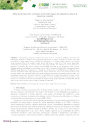
| Author(s): PAPA, D. de A.; ABIB, T. H.; FERREIRA, L. do N.; FIGUEIREDO, E. O.; RODRIGUEZ, L. C. E. Understanding ecological variations in tropical forests is essential for defining conservation and management strategies. Changes in the composition and structure of forests, in relation to altitude,... ... |
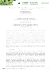
| Author(s): PAPA, D. de A.; CAMARGO, A. P.; FIGUEIREDO, E. O.; RODRIGUEZ, L. C. E. Among the logging methods, the Exploration of Reduced Impact (ERI) is the one that brings most financial benefits to producers and to the environment due to the use of macro and micro forest planning... ... |
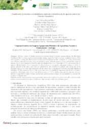
| Author(s): MORAS FILHO, L. O.; FIGUEIREDO, E. O.; ISAAC JÚNIOR, M. A.; BARROS, V. C. C. de; HOTT, M. C.; BORGES, L. A. C. Among a variety of digital classification methods based on remote sensing images, the Maximum Likelihood (ML) is widely used in environmental studies, mainly for land cover and vegetation analysis. Th... ... |
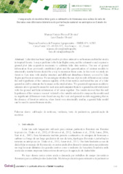
| Author(s): OLIVEIRA, M. V. N. d'; OLIVEIRA, L. C. de Lidar data has been largely used to produce estimative on biomass and timber stocks in tropical forests. A major problem is the lidar flights costs, and the exhaustive and expensive ground plot data a... ... |
| Author(s): QUEIROZ, A. M. de; OLIVEIRA, M. V. N. d'; OLIVEIRA, L. C. de; FIGUEIREDO, E. O. Monitoring forest operations on logged areas is essential to identify the impacts caused to the residual. Light Detection and Ranging (LiDAR) has proven an effective tool to the quantification of the... ... |
| Detecção da exploração madeireira a partir de imagens Landsat e dados LiDAR no Sudoeste da Amazônia. Author(s): PANTOJA, N. V.; OLIVEIRA, M. V. N. d'; HIGUCHI, N. Structural changes on forest canopy produced by selective logging can be identified through satellite images, which shows the location and extent of these areas. The aim of this study was to analyze t... ... |
| Author(s): FIGUEIREDO, S. M. de M.; FIGUEIREDO, E. O. Em razão da pouca disponibilidade de dados de ocorrência de espécies florestais na Amazônia e a necessidade de ampliar o conhecimento da sua distribuição geográfica potencial, foi realizado nesse trab... ... |
| Author(s): FIGUEIREDO, E. O.; PAPA, D. de A.; OLIVEIRA, M. V. N. d'. A Embrapa Acre desenvolve estudos com modelagem tridimensional florestal desde 2010. Os estudos são focados para o desenvolvimento de modelos digital do terreno (MDT) e de superfície (MDS) de áreas ru... ... |
| Author(s): PAPA, D. de A.; FIGUEIREDO, E. O.; OLIVEIRA, M. V. N. d'. A estimativa volumétrica a partir do escaneamento digital de florestas, por meio do uso do LIDAR, potencializa o emprego de técnicas de manejo de precisão no planejamento da exploração nas florestas t... ... |
| Author(s): FIGUEIREDO, E. O.; OLIVEIRA, M. V. N. d'.; PAPA, D. de A. O planejamento do manejo florestal entra numa fase de alta precisão das informações de geolocalização e dendrométricas, sendo que ambas obtidas a partir do perfilamento florestal com o LiDAR aerotrans... ... |
Observation
Some of Embrapa's publications are published as ePub files. To read them, use or download one of the following free software options to your computer or mobile device. Android: Google Play Books; IOS: iBooks; Windows and Linux: Calibre.
Access other publications
Access the Agricultural Research Database (BDPA) to consult Embrapa's full library collection and records.
Visit Embrapa Bookstore to purchase books and other publications sold by Embrapa.

