Busca de Publicações
Filtrar por:
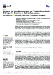
| Autoria: TAVARES, P. A.; FERREIRA, J. N.; SILVA, C. V. J.; BERENGUER, E.; BARLOW, J. The Brazilian Amazonian Forest is undergoing significant changes in land use and land cover in the last few decades. This land-use transition, besides climate change, may be responsible for the fire r... ... |
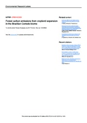
| Autoria: NOOJIPADY, P.; MORTON, D. C.; MACEDO, M. N.; VICTORIA, D. de C.; HUANG, C.; GIBBS, H. K.; BOLFE, E. L. Abstract. Land use, land use change, and forestry accounted for two-thirds of Brazil?s greenhouse gas emissions profile in 2005. Amazon deforestation has declined by more than 80% over the past decade... ... |
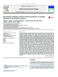
| Autoria: MORTON, D. C.; NOOJIPADY, P.; MACEDO, M. M.; GIBBS, H.; VICTORIA, D. de C.; BOLFE, E. L. Agricultural suitability maps are a key input for land use zoning and projections of cropland expansion. Suitability assessments typically consider edaphic conditions, climate, crop characteristics, a... ... |
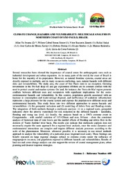
| Autoria: IWAMA, A. Y.; SOUSA JUNIOR, W. C.; ZANETTI, V. B.; SAKAI, R.; XAVIER, J. C. DE. M.; FREITAS, D.; SIMÕES, E.; BATISTELLA, M.; FERREIRA, L. DA. C. This study focus into two different approaches to assess hazards and vulnerabilities: (1) the geospatial indicators and (2) modelling of debris flow and flooding events. The integration of both method... ... |
| Autoria: COUTINHO, H. L. C.; TURETTA, A. P. D.; MARTORANO, L. G.; MONTEIRO, J.; SCHULER, A.; MEIRELLES, M. S. P.; SIEBER, S.; VERWEIJ, P.; PEREZ-SOBA, M.; TSCHERNING, K.; HELMING, K.
|
| Autoria: VICENTE, L. E.; LOEBMANN, D. G. dos S. W.; VICTORIA, D. de C.; KOGA-VICENTE, A. This study evaluated changes in agricultural land use on São Paulo state, Brazil, mapping and qualifying sugarcane expansion. The Percentage Change Index (PCi), calculated using official municipal cen... ... |
| Autoria: SILVA, S. A. C. G. da; ALBUQUERQUE FILHO, J. C. C. de; SILVA, S. S. L.; CASTRO, A. C. R. de; LOGES, V.
|
| Autoria: LUIZ, A. J. B.; SANCHES, I. D. A.; TRABAQUINI, K.; EBERHARDT, I. D. R.; FORMAGGIO, A. R. Abstract: In this study, the tracking of different types of agricultural land use was assessed over time using the overlap regions of adjacent Landsat Operational Land Imager (OLI) scenes. WRS-II scen... ... |
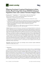
| Autoria: ZHU, C.; LU, D.; VICTORIA, D. de C.; DUTRA, L. V. Mapping cropland distribution over large areas has attracted great attention in recent years, however, traditional pixel-based classification approaches produce high uncertainty in cropland area stati... ... |
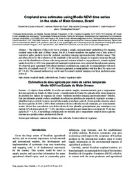
| Autoria: VICTORIA, D. de C.; PAZ, A. R. DA; COUTINHO, A. C.; KASTENS, J.; BROWN, J. C. The objective of this work was to evaluate a simple, semi‑automated methodology for mapping cropland areas in the state of Mato Grosso, Brazil. A Fourier transform was applied over a time series... ... |
Observações
1 - Por padrão são exibidas publicações dos últimos 20 anos. Para encontrar publicações mais antigas, configure o filtro ano de publicação, colocando o ano a partir do qual você deseja encontrar publicações. O filtro está na coluna da esquerda na busca acima.
2 - Para ler algumas publicações da Embrapa (apenas as que estão em formato ePub), é necessário ter, no celular ou computador, um desses softwares gratuitos. Sistemas Android: Google Play Livros; IOS: iBooks; Windows e Linux: software Calibre.
Acesse outras publicações
Acesse a Base de Dados da Pesquisa Agropecuária (BDPA) para consultar o acervo completo das bibliotecas da Embrapa.

