Busca de Publicações
Filtrar por:
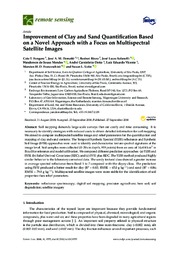
| Autoria: FONGARO, C. T.; DEMATTÊ, J. A. M.; RIZZO, R.; SAFANELLI, J. L.; MENDES, W. de S.; DOTTO, A. C.; VICENTE, L. E.; FRANCESCHINI, M. H. D.; USTIN, S. L. Abstract: Soil mapping demands large-scale surveys that are costly and time consuming. It is necessary to identify strategies with reduced costs to obtain detailed information for soil mapping. We aim... ... |
| |
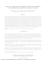
| Autoria: TEIXEIRA, A. H. de C.; LEIVAS, J. F.; SILVA, G. B. S. da The objective of the actual research was to test and apply a new methodology of assessing Water Productivity (WP) being T○ retrieved with and without the thermal band of the Landsat sensor and l... ... |
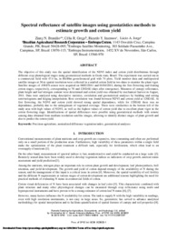
| Autoria: BRANDAO, Z. N.; GREGO, C. R.; INAMASU, R. Y.; JORGE, L. A. de C. The objective of this study was the spatial identification of the NDVI index and cotton yield distributions through different crop phenological stages using geostatistical methods in Goiás state, Braz... ... |
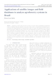
| Autoria: BRANDÃO, Z. N.; GREGO, C. R.; GONDIM, T. M. de S.; RODRIGUES, H. M. Satellite images are valuable tools to assess the nutritional status of plants and, thus, understand the variability of cotton yield in farmers' fields. By identifying soil variability and nutritional... ... |
| Autoria: FRANÇA, M. M.; FERNANDES FILHO, E. I.; FERREIRA, W. P. M.; LAN, J. L.; SOARES, V. P. During image acquisition, is usually chosen scenes with a lesser cloud cover to avoid loss of spectral information. However, when training samples are collected for image classification, the user find... ... |
| Autoria: FRANÇA, M. M.; FERNANDES FILHO, E. I.; FERREIRA, W. P. M.; LANI, J. L.; SOARES, V. P. During image acquisition, is usually chosen scenes with a lesser cloud cover to avoid loss of spectral information. However, when training samples are collected for image classification, the user find... ... |
| Autoria: LEIVAS, J. F.; TEIXEIRA, A. H. de C.; SILVA, G. B. S. da; RONQUIM, C. C.; REIS, J. B. R. da S. The Jaíba Irrigated Perimeter is a large irrigated agriculturearea, located in the region Forest Jaíba between the SãoFrancisco and Verde Grande rivers, in the Brazilian semi-arid region. In 2014, irr... ... |
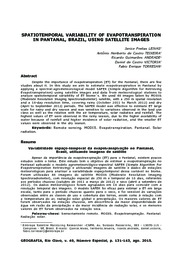
| Autoria: LEIVAS, J. F.; TEIXEIRA, A. H. de C.; ANDRADE, R. G.; VICTORIA, D. de C.; TORRESAN, F. E. Apesar da importância da evapotranspiração (ET) para o Pantanal, existem poucos estudos sobre o tema. Este estudo tem o objetivo de estimar a evapotranspiração no Pantanal aplicando o modelo agrometeo... ... |
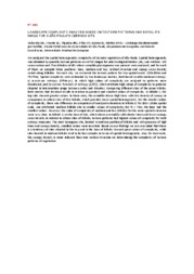
| Autoria: VEDOVATO, L. B.; VICENTE, L. E.; PIQUEIRA, J. R. C.; LOEBMANN, D. G. dos S. W.; MATTOS, S. H. V. L. We analysed the spatial heterogeneity complexity of Cerrado vegetation of São Paulo. Spatial heterogeneity was obtained by quantity texture patterns on ASTER images for Jataí Ecological Station (JES;... ... |
Observações
1 - Por padrão são exibidas publicações dos últimos 20 anos. Para encontrar publicações mais antigas, configure o filtro ano de publicação, colocando o ano a partir do qual você deseja encontrar publicações. O filtro está na coluna da esquerda na busca acima.
2 - Para ler algumas publicações da Embrapa (apenas as que estão em formato ePub), é necessário ter, no celular ou computador, um desses softwares gratuitos. Sistemas Android: Google Play Livros; IOS: iBooks; Windows e Linux: software Calibre.
Acesse outras publicações
Acesse a Base de Dados da Pesquisa Agropecuária (BDPA) para consultar o acervo completo das bibliotecas da Embrapa.

