Implementation of Embrapa's Spatial Data Infrastructure and Consolidation of Databases for Geospatial Research
 Busca de Projetos Busca de Projetos
Implementation of Embrapa's Spatial Data Infrastructure and Consolidation of Databases for Geospatial Research

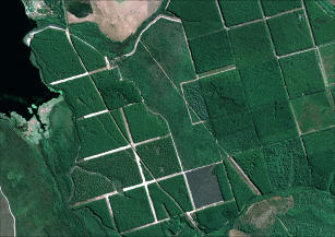
Photo: GEOEYE, Embrapa
This project arose from the need to generate and consolidate geospatial databases, implementing an infrastructure in order to organize and make this data available to improve Embrapa's RD&I capacity. As well as to allow sharing of the data collection to other government agencies and to society, and also the establishment of a multiuser reference center for obtaining spectroradiometric measurements of targets of interest to tropical agriculture. The implementation of Embrapa's Spatial Data Infrastructure (IDE-EMBRAPA) occurred in line with the guidelines of the National Spatial Data Infrastructure of Brazil (INDE).
Status: Completed Start date: Sun Jun 01 00:00:00 GMT-03:00 2014 Conclusion date: Tue May 31 00:00:00 GMT-03:00 2016
Keywords: Geoinformação, Metadados, INDE, Sensoriamento Remoto, Zoneamentos

