Geotechnologies Applied to Greenhouse Gas Dynamics in Brazilian Agriculture
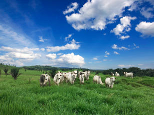
Photo: NOGUEIRA, Gabriel Pupo
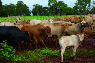
This project applied geotechnologies to understand the cause and effect relationships between agricultural activities and greenhouse gas emissions processes, generating subsidies for management decisions that were agronomically and environmentally sustainable. For that, maps of pastures of the national territory were updated and geotechnologies were used to spatialize and monitor natural resources, human activities, and the consequences of these activities on the Earth's surface.
Ecosystem: Amazonic, Atlantic Forest, Semi-mixed and seasonal forests, Pantanal, Caatinga Region and Mixed forests, Cerrados Region
Status: Completed Start date: 04/2011 Conclusion date: 03/2015
Head Unit: Embrapa Territorial
Project leader: Sandra Furlan Nogueira
Contact: sandra.nogueira@embrapa.br