GeoInfo - Management Model for Embrapa's Geospatial Information
GeoInfo - Management Model for Embrapa's Geospatial Information
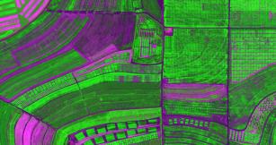
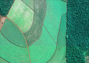
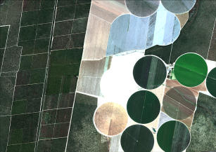
Photo: GEOEYE, Embrapa
Geospatial information are necessary for planning and decision making, resources management, and for the creation of public policies. Disseminating geoinformation is strategically relevant to strengthen Brazilian agriculture and to transfer the knowledge produced by Embrapa to the society. The deployment of a structure for the digital storage of spatial data and metadata enables the long-term preservation of geoinformation and its curation, manipulation and integration, thus avoiding duplication of effort and enabling the generation of new information and their broadcast among researchers and citizens. The Brazilian Decree no. 6.666, from November 27, 2008, established the Brazilian National Spatial Data Infrastructure (Infraestrutura Nacional de Dados Espaciais, Inde), an integrated set of technologies, policies, standards, coordination and monitoring mechanisms, and agreements necessary to facilitate and organize the production, management, access, sharing, disclosure and use of the geospatial data. The GeoInfo project aims to consolidate the bases for the deployment of a safe environment for the management and organization of the spatial data produced by Embrapa and the integration of this data with the platform indicated by the Brazilian National Commission of Cartography (Comissão Nacional de Cartografia, Concar) for Inde. This project’s objective is to strengthen geospatial information management within Embrapa by deploying a storage and management structure for data and metadata in accordance with Inde directives. We expect to qualify multipliers for information and geospatial knowledge management, and to deploy a repository for the storage and management of geospatial data and metadata, which is to be validated using information from Embrapa’s research and development projects. We foresee the definition of directives for data and metadata cataloging procedures in accordance with Inde, which will provide resources for the formulation of a model for information management and geospatial knowledge representation within Embrapa.
Status: Completed Start date: Sat Sep 01 00:00:00 GMT-03:00 2012 Conclusion date: Mon Aug 31 00:00:00 GMT-03:00 2015
Head Unit: Embrapa Territorial
Project leader: Debora Pignatari Drucker
Contact: debora.drucker@embrapa.br
Keywords: Geoinformação, Repositório, Metadados, Planejamento do uso da terra, INDE