Search Publications
Filter by:
| Multitemporal segmentation of Sentinel-2 images in an agricultural intensification region in Brazil. Author(s): SANTOS, L. T. dos; WERNER, J. P. S.; REIS, A. A. dos; TORO, A. P. G.; ANTUNES, J. F. G.; COUTINHO, A. C.; LAMPARELLI, R. A. C.; MAGALHÃES, P. S. G.; ESQUERDO, J. C. D. M.; FIGUEIREDO, G. K. D. A. ABSTRACT: With the recent evolution in the sensor's spatial resolution, such as the MultiSpectral Imager (MSI) of the Sentinel-2 mission, the need to use segmentation techniques in satellite images ha... ... |
| Author(s): COSTA, W.; FONSECA, L.; KÖRTING, T.; SIMÕES, M.; KUCHLER, P. Continuous observations from remote sensors provide high temporal and spatial resolution imagery, and better remote sensing image segmentation techniques are mandatory for efficient analysis. Among th... ... |
| Author(s): SCHULTZ, B.; IMMITZER, M.; FORMAGGIO, A. R.; SANCHES, I. D. A.; LUIZ, A. J. B.; ATZBERGER, C. Abstract: Only well-chosen segmentation parameters ensure optimum results of object-based image analysis (OBIA). Manually defining suitable parameter sets can be a time-consuming approach, not necessa... ... |
| Author(s): COSTA, W. S.; FONSECA, L. M. G.; KÖRTING, T. S.; SIMÕES, M.; BENDINI, H. N.; SOUZA, R. C. M. With the amount of multitemporal and multiresolution images growing exponentially, the number of image segmentation applications is recently increasing and, simultaneously, new challenges arise. Hence... ... |
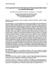
| Author(s): ALVES, G. M.; CRUVINEL, P. E.; SOUZA, G. B.; MARANA, A. N.; LEVADA, A. L. M.
|
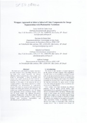
| Author(s): JORGE, L. A. de C.; RUIZ, H. de S.; FERREIRA, E. J.; GONZAGA, A.
|
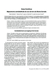
| Author(s): SANO, E. E.; ROSA, R.; BRITO, J. L. S.; FERREIRA, L. G. O objetivo deste trabalho foi mapear o uso da terra do Bioma Cerrado na escala de 1:250.000. As seguintes classes de uso da terra foram consideradas: culturas agrícolas, pastagens cultivadas, reflores... ... |
| Author(s): GONÇALVES, J. P.; PINTO, F. A. C.; QUEIROZ, D. M.; VILLAR, F. M. M.; BARBEDO, J. G. A.; DEL PONTE, E. M. Colour-thresholding digital imaging methods are generally accurate for measuring the percentage of foliar area affected by disease or pests (severity), but they perform poorly when scene illumination... ... |
| |
Observation
Some of Embrapa's publications are published as ePub files. To read them, use or download one of the following free software options to your computer or mobile device. Android: Google Play Books; IOS: iBooks; Windows and Linux: Calibre.
Access other publications
Access the Agricultural Research Database (BDPA) to consult Embrapa's full library collection and records.
Visit Embrapa Bookstore to purchase books and other publications sold by Embrapa.

