Embrapa Territorial
Tecnologias
-
Busca de Tecnologias
Navegue pelas Tecnologias da Embrapa Territorial
Or access the full list with all the results
 Launches
*Content only available in Portuguese
Methodology
Product
It is a system developed to monitor and issue warnings ahead of the advance of soybean rust and Ramularia leaf spot in crops to the west of Bahia ...
*Content only available in Portuguese
Product
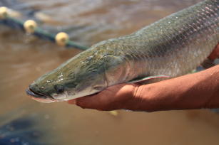
O SITE Aquicultura reúne centenas de dados sobre a produção aquícola no Brasil, em uma única plataforma digital interativa com mapas estilizados. ...
Product
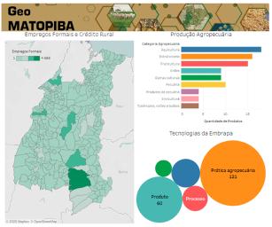
The GeoMatopiba is a free, public-access platform for data management and data analysis operations on the Matopiba region. Its structure includes ...
Product
Software linked to a Strategic Territorial Intelligence System (SITE) on land use and occupation in Brazil. Its focus is the analysis of the terri...
 Learn more about Embrapa's technologies
-
How can I buy or access the technologies?
On the page for each technology, Embrapa lists how to have access to a finished technology, which can be a list of licensed suppliers, for instance.
-
Technologies available for partnerships
Learn about Embrapa's unfinished technologies that are at different readiness levels and available for partnerships and business with institutions, companies and startups.
-
Licensing Embrapa technologies
We establish partnerships to produce, use, sell or explore technological assets, solutions, knowledge or patents in the production sector.
-
Technologies for social development
Developed through interaction with local communities, they promote changes based on principles of environmental conservation, respect for cultures, economic solidarity, and self-management.
 Cultivars
*Content only available in Portuguese
Product
A Pescoteca é um repositório on-line que disponibiliza relatos da prática docente produzidos no Programa Pesquisa e Conhecimento na Escola (Pesco)...
*Content only available in Portuguese
Product
Product
The GeoMatopiba is a free, public-access platform for data management and data analysis operations on the Matopiba region. Its structure includes ...
*Content only available in Portuguese
Product
O DoSLD é um software que permite customizar estilos para os dados espaciais (cores e legendas em mapas) com intuito de melhorar a visualização da...
Product
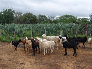
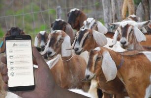
The CIM Rebanho app is a tool developed by Embrapa Goats and Sheep that allows the user to consult herd distribution statistics. Easy to use, it c...
*Content only available in Portuguese
Product
O Geoweb “Inclusão Produtiva no seu Município” é um produto digital capaz de mapear, realizar análises territoriais e avaliar os programas sociais...
Product
Software linked to a Strategic Territorial Intelligence System (SITE) on land use and occupation in Brazil. Its focus is the analysis of the terri...
*Content only available in Portuguese
Product
O WebGIS Paisagens Sustentáveis Brasil é uma ferramenta que disponibiliza o maior acervo de dados provenientes de levantamentos realizados com a t...
*Content only available in Portuguese
Agricultural practice
A forma de reciclar os dejetos biodigeridos de suínos na fazenda determina o grau de otimização, eficiência, em suma, de sua sustentabilidade. A p...
*Content only available in Portuguese
Product
O Geoweb Matopiba é um Sistema de Inteligência Territorial Estratégica (SITE), que apresenta dados espaciais agrupados em quadro agrário, agrícola...
*Content only available in Portuguese
Product
Serviço Web que possibilita a calibração e correção atmosférica de dados ópticos remotos multissensor. A operação consiste numa série de métodos, ...
*Content only available in Portuguese
Product
O WebGIS - Base de Dados Virtual dos Ecossistemas Costeiros da Bacia de Campos é um dos resultados do projeto “Mudanças climáticas globais e o fun...
*Content only available in Portuguese
Product
O SomaBrasil é um WebGis (Sistema de Informação Geográfica online) que disponibiliza bases de dados censitários e informações geradas a partir de ...
*Content only available in Portuguese
Methodology
Apresentação de abordagem metodológica empregando a equação universal de perda de solo para modelagem do potencial, e/ou, suscetibilidade solo à e...
*Content only available in Portuguese
Product
O WebGIS Moçambique é um sistema dinâmico e interativo desenvolvido pela Embrapa Monitoramento por Satélite (Campinas/SP) para apoiar a gestão dos...
