Busca de Publicações
Filtrar por:
| |
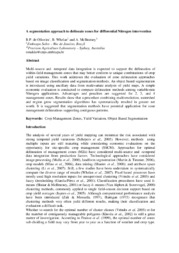
| Multitemporal segmentation of Sentinel-2 images in an agricultural intensification region in Brazil. Autoria: ANTUNES, J. F. G.; COUTINHO, A. C.; ESQUERDO, J. C. D. M. ABSTRACT: With the recent evolution in the sensor's spatial resolution, such as the MultiSpectral Imager (MSI) of the Sentinel-2 mission, the need to use segmentation techniques in satellite images ha... ... |
| |
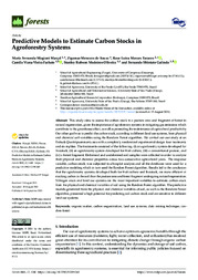
| Autoria: GONÇALVES, J. P.; PINTO, F. A. C.; QUEIROZ, D. M.; VILLAR, F. M. M.; BARBEDO, J. G. A.; DEL PONTE, E. M. Colour-thresholding digital imaging methods are generally accurate for measuring the percentage of foliar area affected by disease or pests (severity), but they perform poorly when scene illumination... ... |
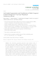
| Autoria: COSTA, W.; FONSECA, L.; KÖRTING, T.; SIMÕES, M.; KUCHLER, P. Continuous observations from remote sensors provide high temporal and spatial resolution imagery, and better remote sensing image segmentation techniques are mandatory for efficient analysis. Among th... ... |
| |
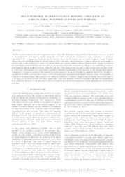
| Autoria: BARRETO, P. V. DE A.; SILVA, M. A. S. da; MATOS, L. N.; MIRANDA JÚNIOR, G. F.; DOMPIERI, M. H. G.; MOURA, F. R. DE; RESENDE, F. K. S. ABSTRACT: This paper proposes an algorithm for analyzing clusters of thematic maps with ordinal categorical classes to support territorial zoning. The proposed method combines the Self-Organizing Map... ... |
| |
| |
| |
Observações
1 - Por padrão são exibidas publicações dos últimos 20 anos. Para encontrar publicações mais antigas, configure o filtro ano de publicação, colocando o ano a partir do qual você deseja encontrar publicações. O filtro está na coluna da esquerda na busca acima.
2 - Para ler algumas publicações da Embrapa (apenas as que estão em formato ePub), é necessário ter, no celular ou computador, um desses softwares gratuitos. Sistemas Android: Google Play Livros; IOS: iBooks; Windows e Linux: software Calibre.
Acesse outras publicações
Acesse a Base de Dados da Pesquisa Agropecuária (BDPA) para consultar o acervo completo das bibliotecas da Embrapa.

